iNNOVATION GROUP :
Geomatics applied to the agricultural sector
Discover all you could change thanks to Agrotig: Monitor your field from above, control the water consumption, the use of ferlizizers, or get an early detection of anomoalies.
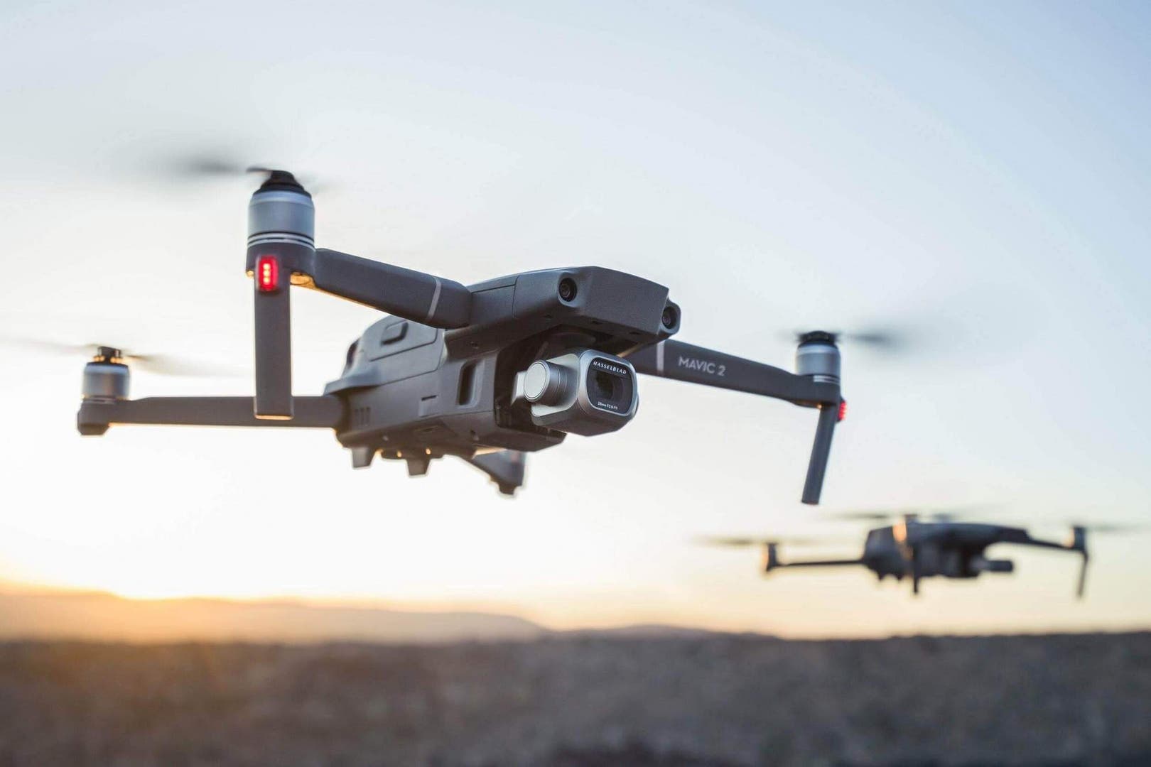
AGROTIG IS A TOOL THAT INTEGRATES SATELLITE AND DRONE REMOTE SENSING DATA FOR CEREAL CROP MONITORING, ALLOWING AN EARLY DETECTION OF ANOMALIES FOR A PROMPT ACTION.

Weekly images of your farm
Monitoring every 5 days thanks to the European Space Agency’s Sentinel images.

Anomaly detection
Early warning by constant satellite monitoring, and detailed damage and disease mapping with drone flights.

Decision support
Decisions support system for using fertilizers, water and pesticies.
Leaf biomass
Estimates of crop biomass and monitoring of crop growth and development.
Chlorophyll concentration
Crop nutrient status and prescription maps for precision fertilization.

Water consumption
Amount of water used by the crop, and comparision with its optimal water consumption.
YOU COULD APPLY ADDITIONAL TECHNICAL ASSISTANCE WITH A DRONE SURVEY THROUGH YOUR FARMERS ASSOCIATION.
PARTNERS


colLaborators


FUNDED BY
The Operative Group AGROTIG is responsible of all contents published in this site.
Project co-funded in 80% by EU through FEADER, with a total budget of 387 391.05€
The General Directorate in Rural Development, Innovation, and Forest Policy is the responsible authority for the application of FEADER grants