WHO ARE WE?
ABOUT US
The AGROTIG Innovation Group was created with the objective of promoting the use of Geospatial Technologies in the agricultural sector. To do so, we are developing an online tool that integrates data from Sentinel satellites together with sensors onboard remotely piloted aircraft systems (i.e. drones).
This decision support system will allow an efficient use of resources in agriculture (fertilizers, water, herbicides…), permitting a localized use of inputs and integrating these data in variable-rate distribution systems. The final goal is to save resources and to improve the environment.
PARTNERS AND COLLABORATORS OF THIS PROJECT


If you want to know more about what Agrotig is, take a look a this video: Our objective is to give any farmer the chance to start using remote sensing for cereal crop monitoring.
OTHER FEATURED PROJECTS

SIEGA: GEOSPATIAL DECISION SUPORT SYSTEM FOR EXTENSIVE LIVESTOCK FARMING
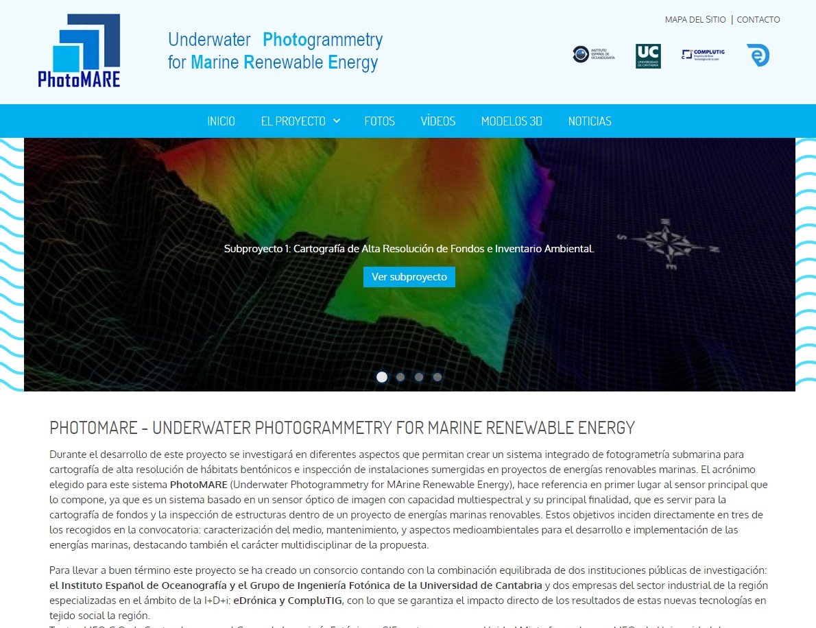
PHOTOMARE: UNDERWATER PHOTOGRAMMETRY FOR MARINE RENEWABLE ENERGY
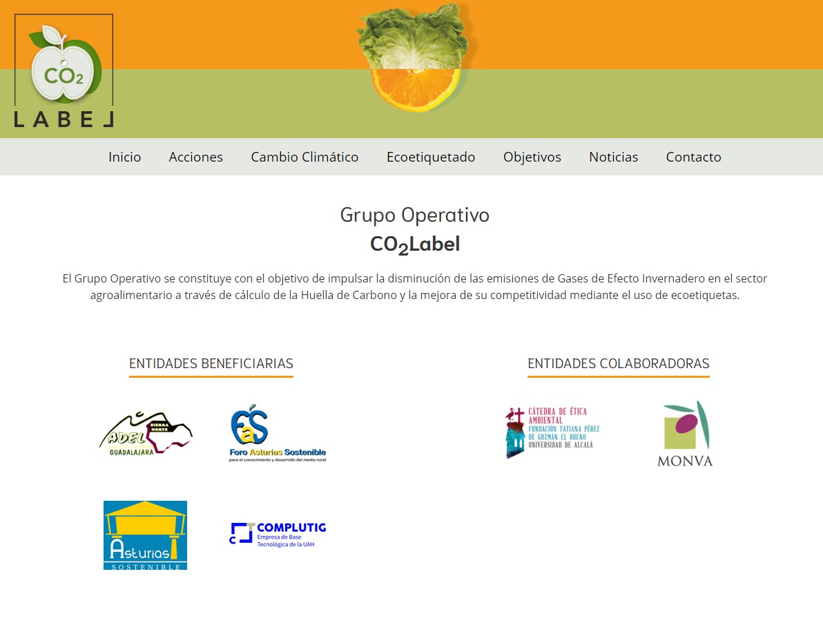
CO2 LABEL: CARBON FOOTPRINT LABELING FOR REDUCING THE EMISSION OF GREENHOUSE GASES